The handwriting.
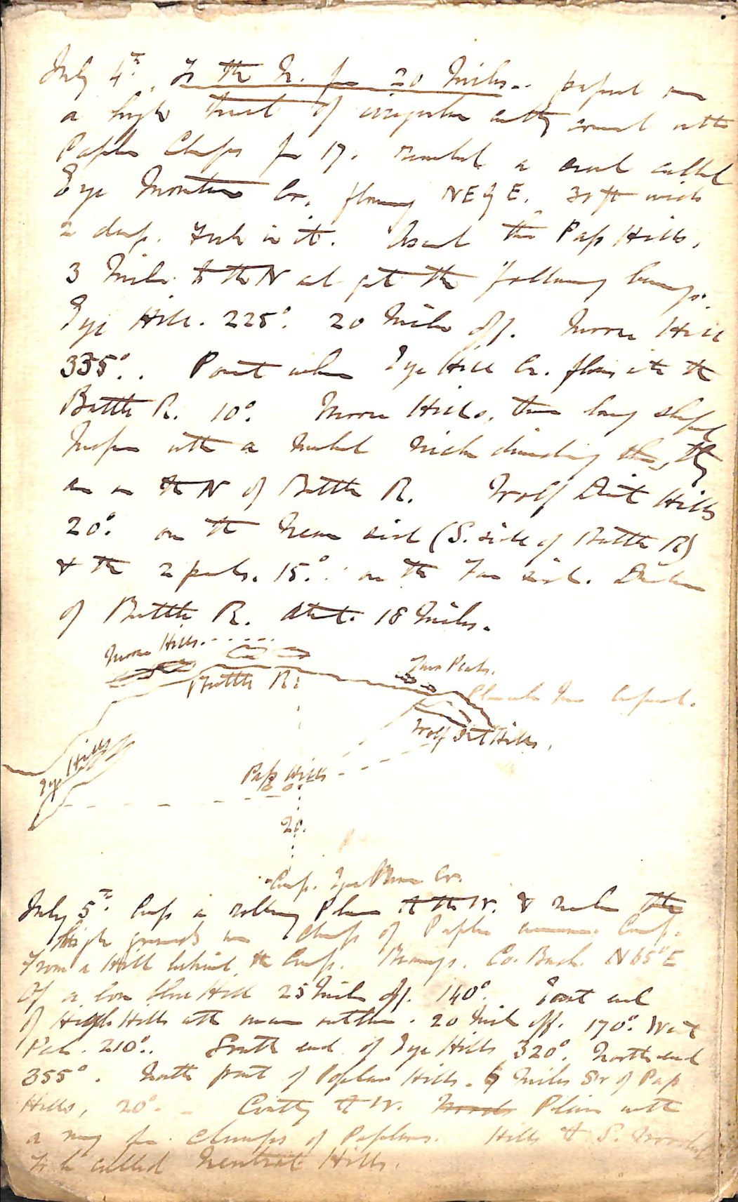
James Hector's field notebook, July 1858 — bearings, distances, and a
horizon sketch, from the Palliser Expedition season that reached
Kicking Horse Pass. Hocken Collections, University of Otago, MS-0443.
Public domain.
The map.
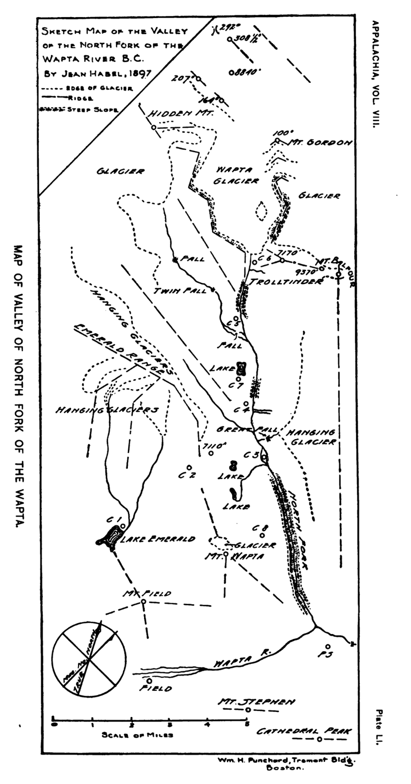
Jean Habel's sketch map of the Wapta valley, drawn in the field in
1897 and published in Appalachia Vol. VIII. Public domain.
The image.
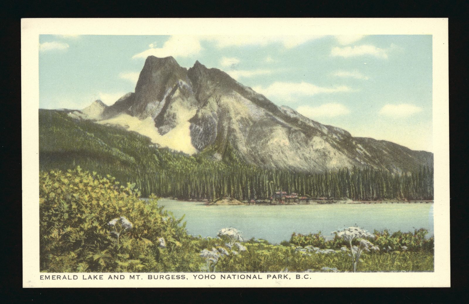
Emerald Lake and Mt. Burgess, a hand-tinted postcard from a Byron
Harmon photograph. Harmon died in 1942; his work is public domain in
Canada. Whyte Museum of the Canadian Rockies.
Journals, field notes, sketch maps, patrol reports, photographs —
unprocessed, sitting in local archives. We turn them into searchable
text, structured records, georeferenced maps, and stories a place can
sell.